


The Client
Wilson James has been elevating standards in security, construction logistics, aviation services, and technology services for over 30 years.
Project Overview
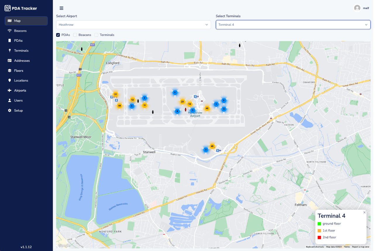
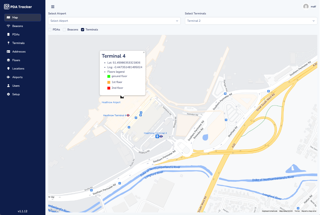
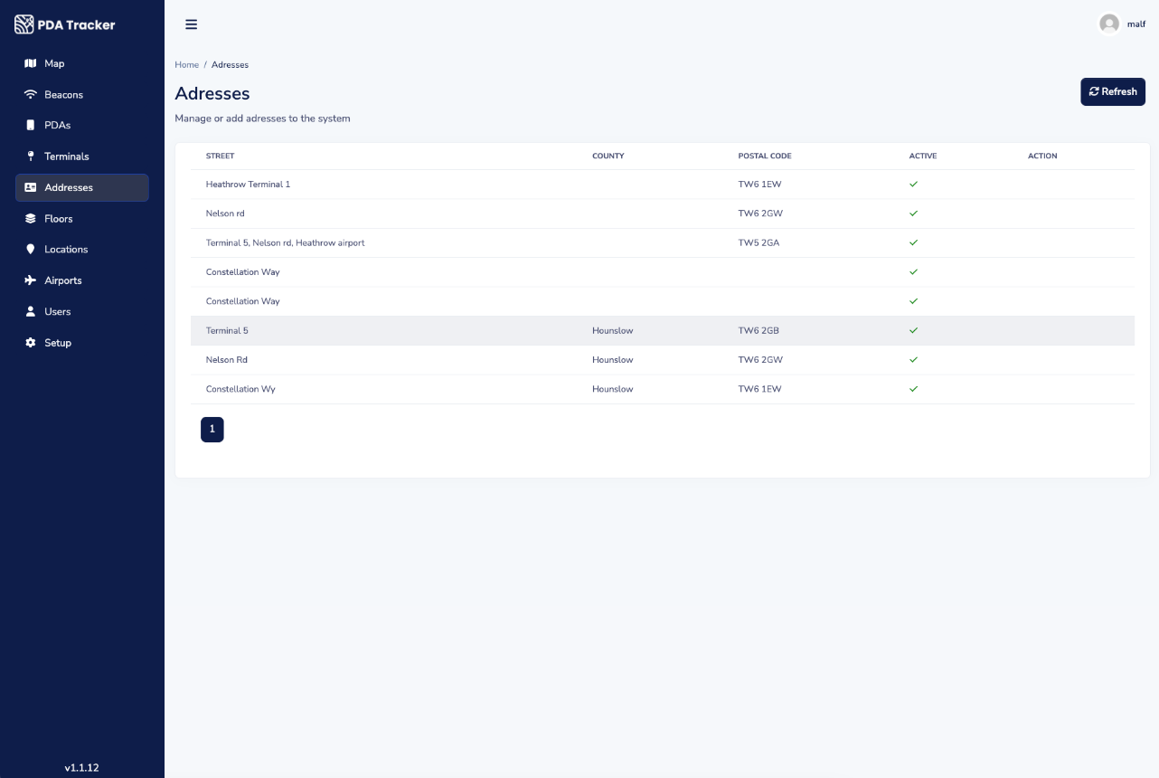
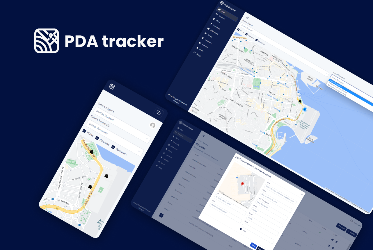
We have developed a web application (Web App) that displays the precise locations of all employees within airports on a map, providing specific details such as airport names, terminals, and floors. This system utilizes the phone's location, iBeacon proximity, and GPS data. Subsequently, a mobile app uploads the iBeacon proximity and GPS data to a secure database through a web service. The web app then presents this data in real-time on an airport map. Two primary tasks were necessary to accomplish this: the development of a backend web service and database for data capture and storage, and the creation of a web app to show users' locations on the airport map as they move. The web application includes user IDs, and their locations are continuously updated as they navigate the airport.
Project Execution
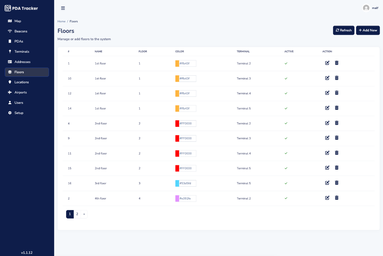
Our primary focus on this project was to develop a system for managing client and user information, location, and Beacon data. The login process requires email and password credentials, with 2FA (Two-Factor Authentication) support. The application communicates with the API using a JWT (JSON Web Token) Bearer token. The system comprises four user types and is responsible for overseeing client location coordinates, floor colours, and iBeacons. The user's map system displays their locations on a map, with pins coloured according to the floor level. The data model consists of three tables: Users, Beacons, and Location. We utilized React Native for the front end and Django for the back end. Additionally, we opted to employ Prometheus and Grafana for monitoring purposes and Digital Ocean for hosting.
Project Results
Our team has successfully delivered a Stage version of the user-friendly system in under six months, by June 2023. Our system simplifies the management of client and user information, as well as location and beacon data. To ensure user security, we've implemented a login process that requires email and password credentials, with support for Two-Factor Authentication (2FA). Additionally, we've established communication with the API through a JWT Bearer token. With four types of users, we can efficiently manage client location coordinates, floor colours, and iBeacons. Our user map location system allows users to view their positions on a map using coloured pins that correspond to their floor level. Furthermore, we've established a data model comprising three tables for effective data management.
Related projects
Check out some of the related projects

Mock Exam Centre
Education
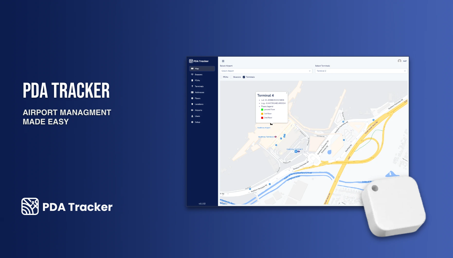
PDA-Tracker
Airport Management

Mystery Box
E-commerce
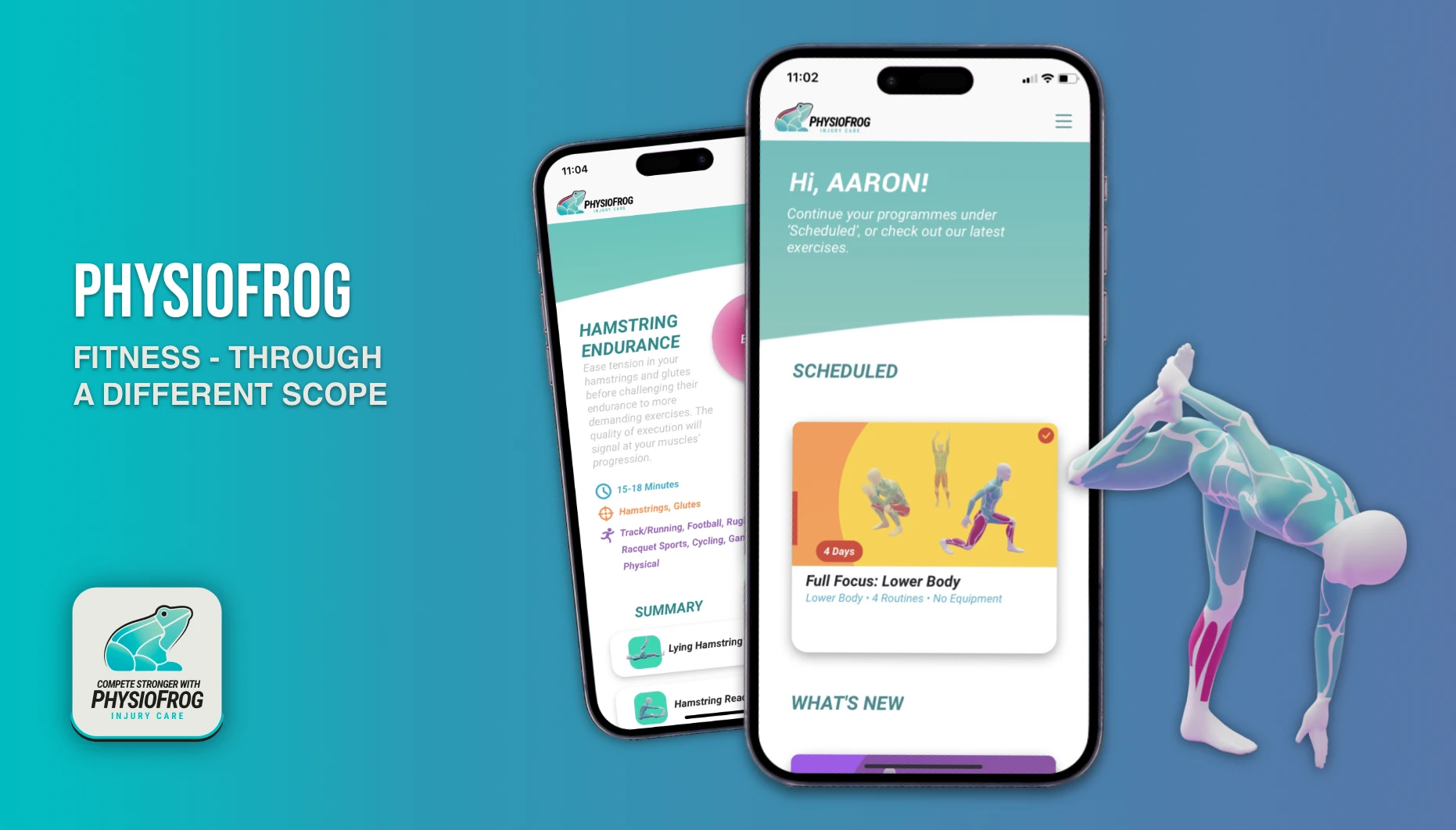
PhysioFrog's Mobile & Web Apps
Healthcare
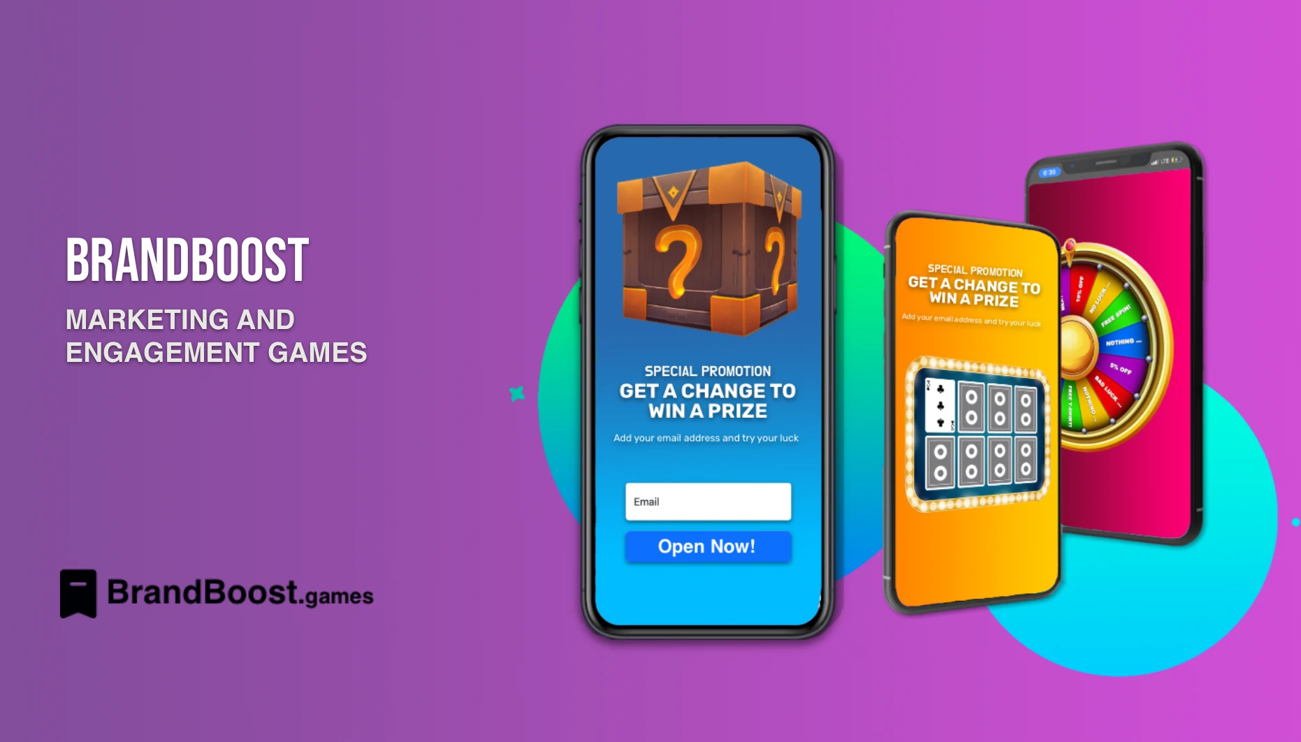
Brand Boost
E-commerce
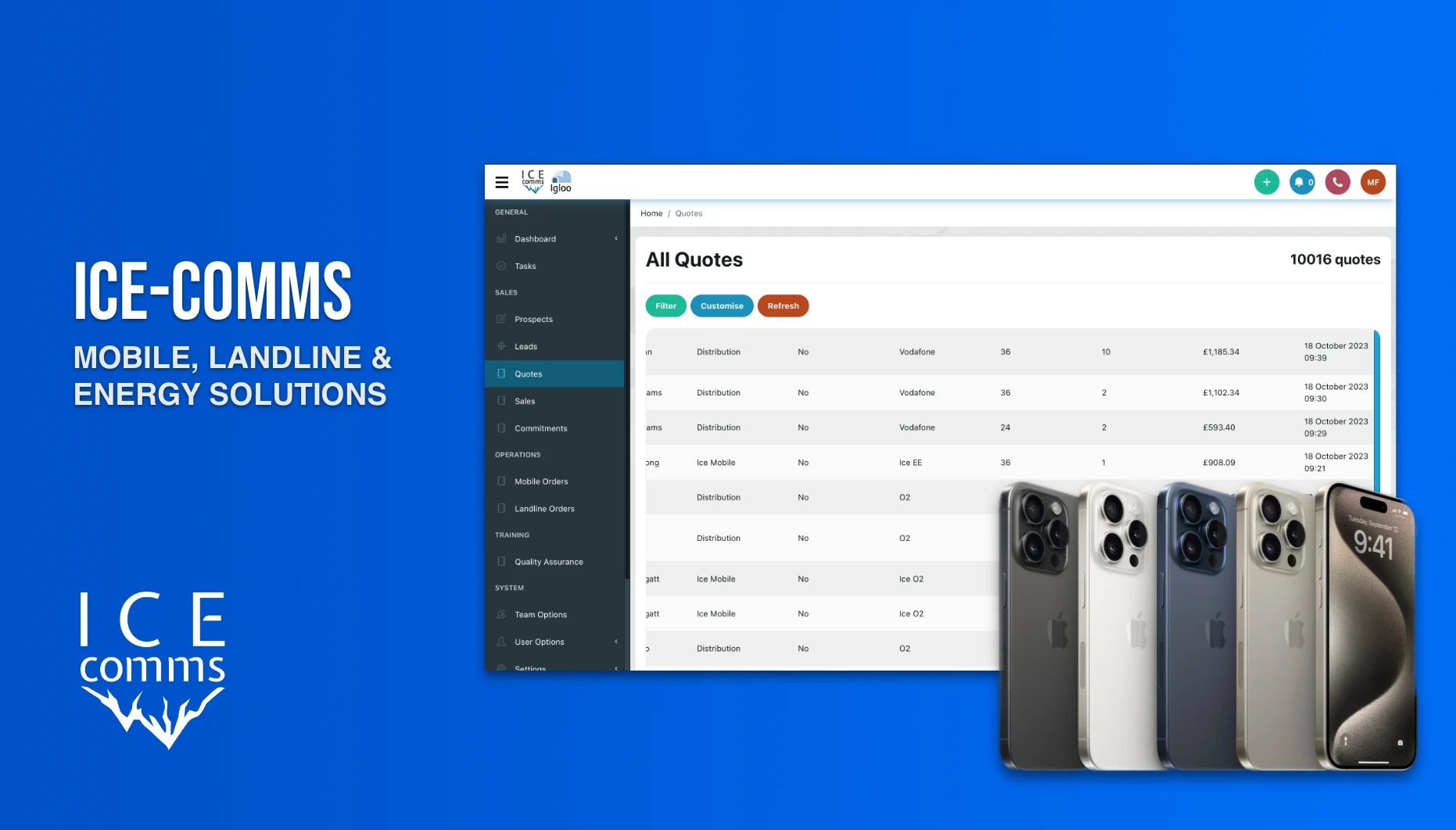
Ice Comms' CRM
E-commerce
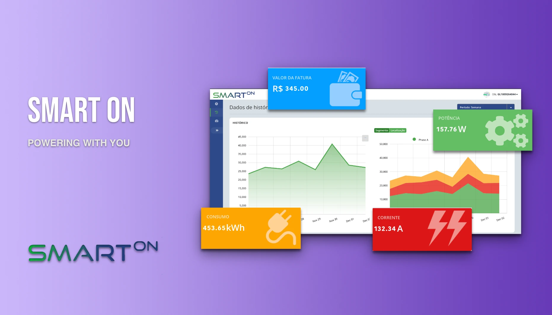
SmartOn's Gateway
Energy
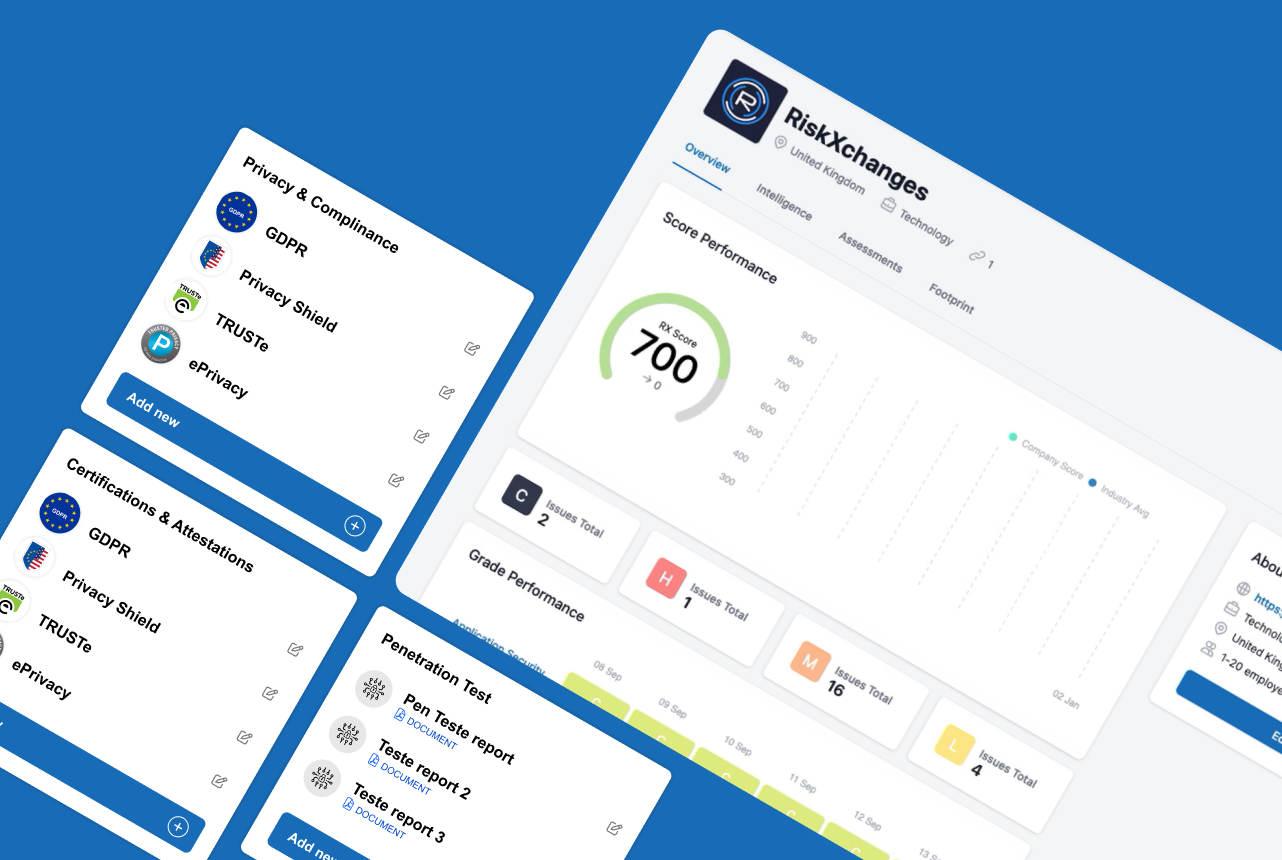
RiskXChange Copilot
Cybersecurity
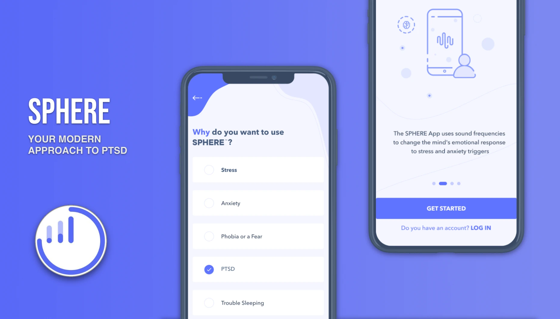
Sphere App
Healthcare
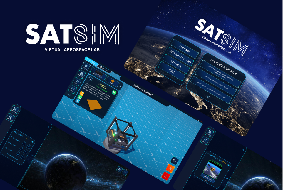
OnOrbit Virtual Aerospace Lab
Education
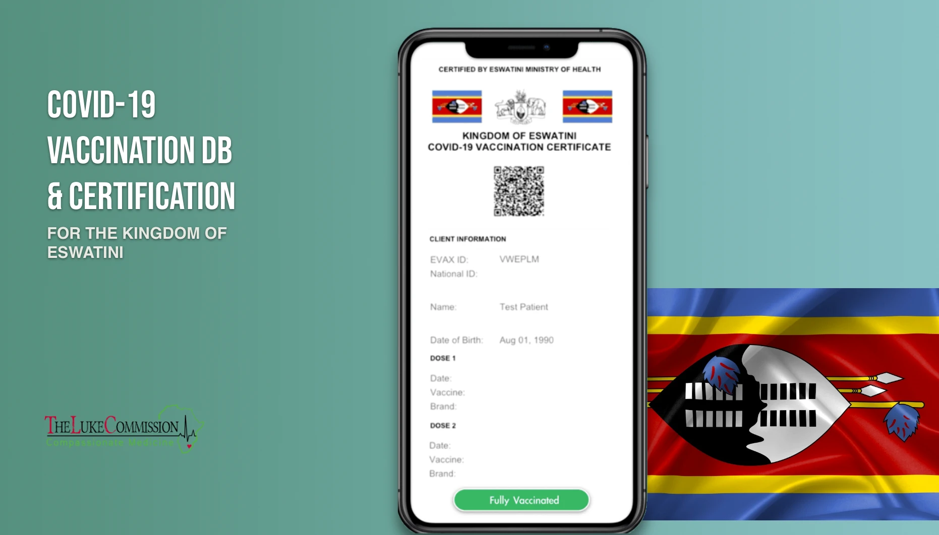
Eswatini’s COVID-19 Vaccination
Nonprofit Organisation
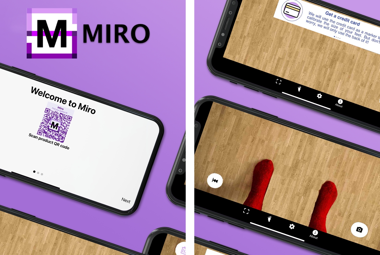
MIRO
E-commerce
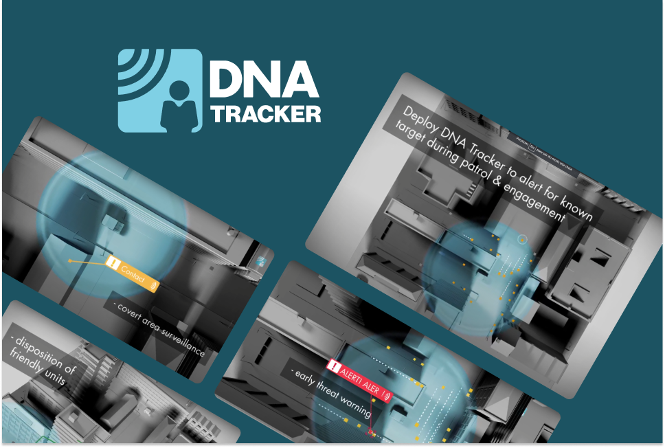
DNA-Tracker Monitoring Networks
E-commerce
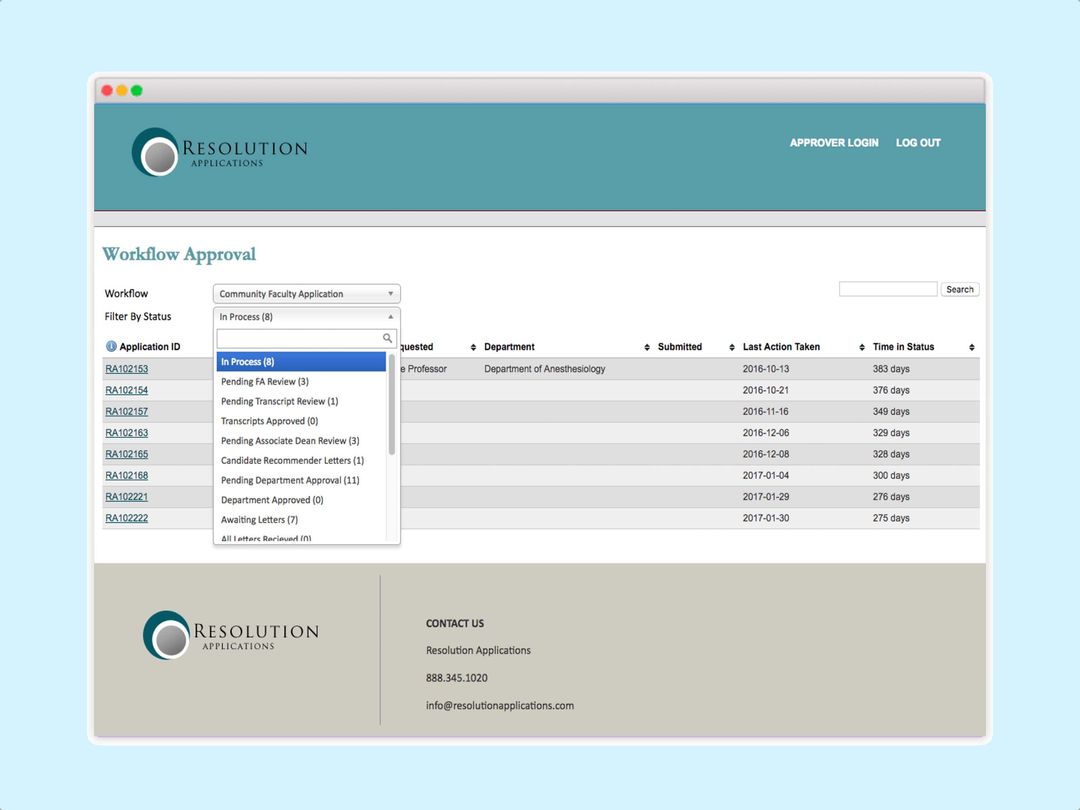
Faculty Activity Reporting Suite
Education
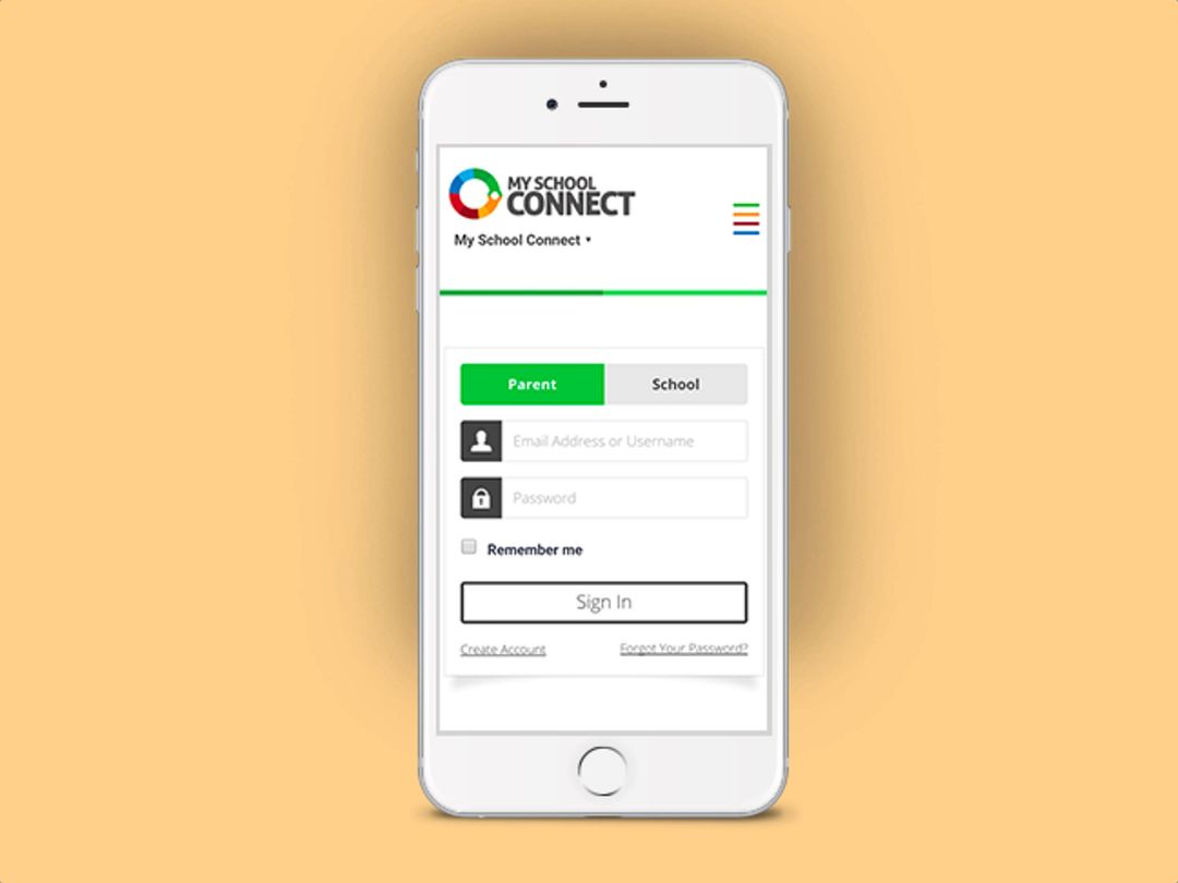
MSC Mobile App
Education
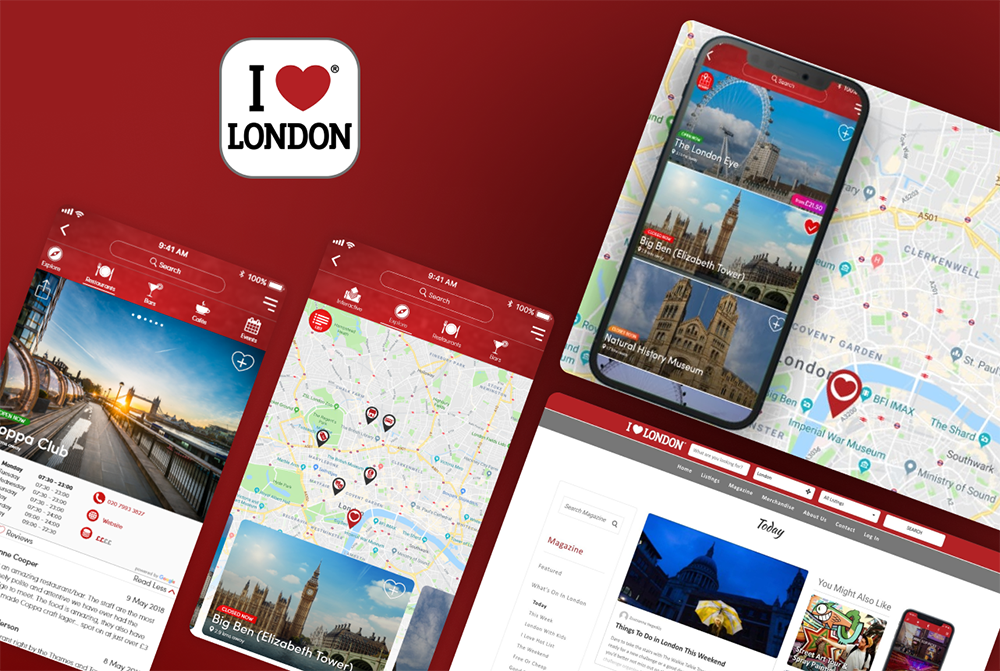
iLoveLondon
Travel

Petgen
Entertainment
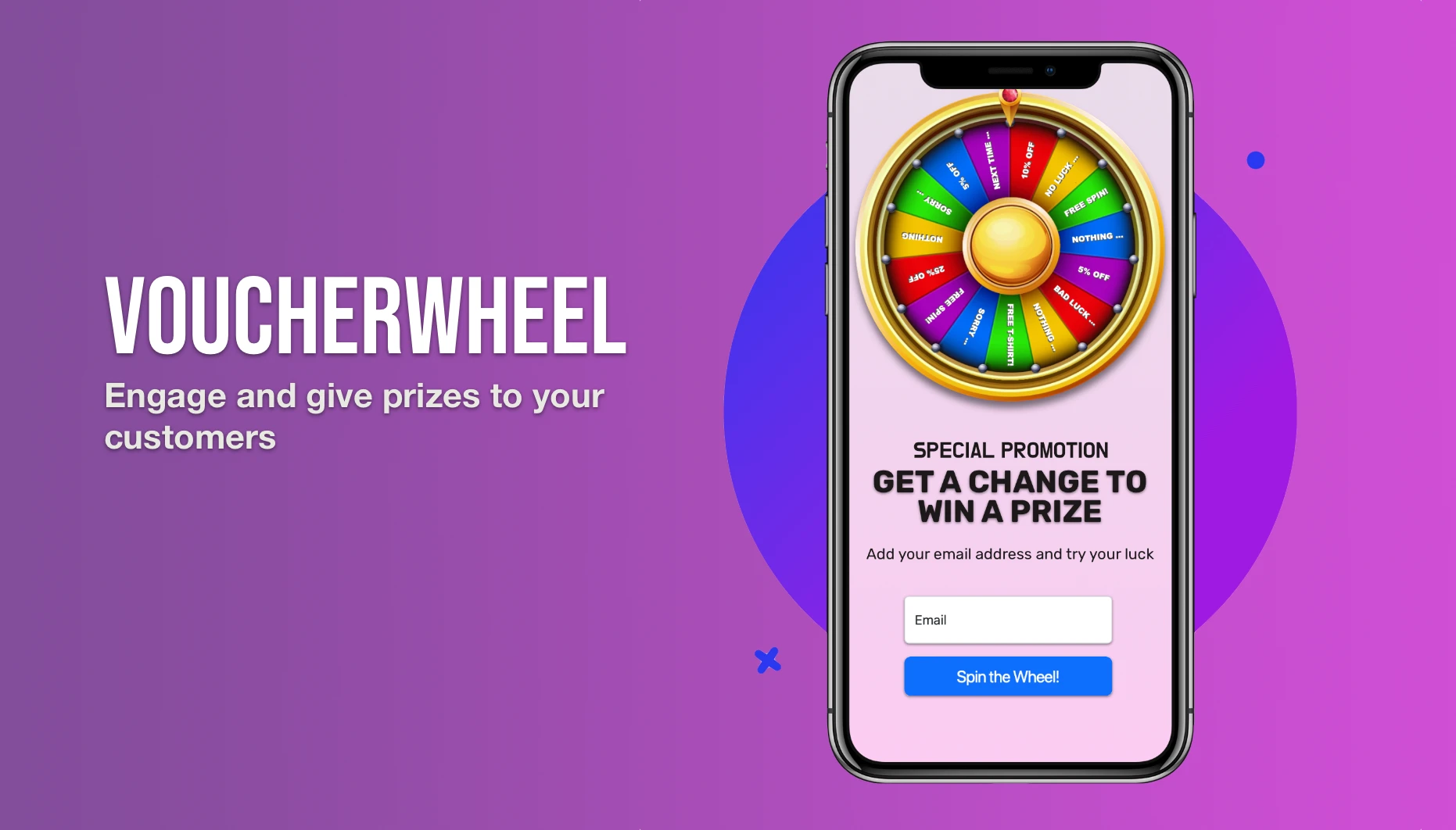
Voucher Wheel
Marketing

Voucher Slots
Marketing

Higher or Lower
Marketing